LiDAR
This section presents selected LiDAR scanning projects completed in my role as a Space Analyst at the University of Tennessee. The work documents existing campus buildings at high resolution to support digital twin development, BIM modeling, and integration with university mapping systems.
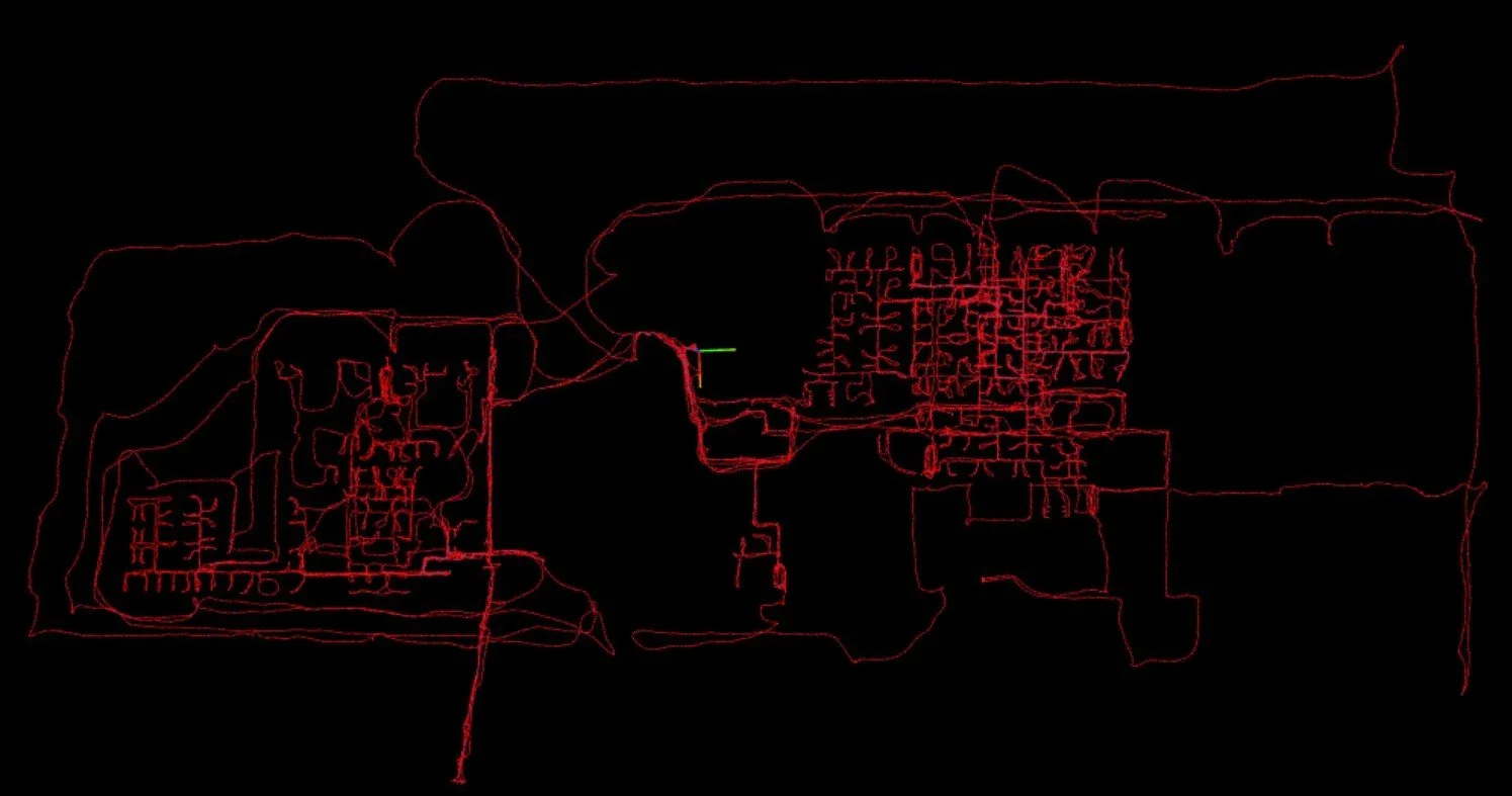
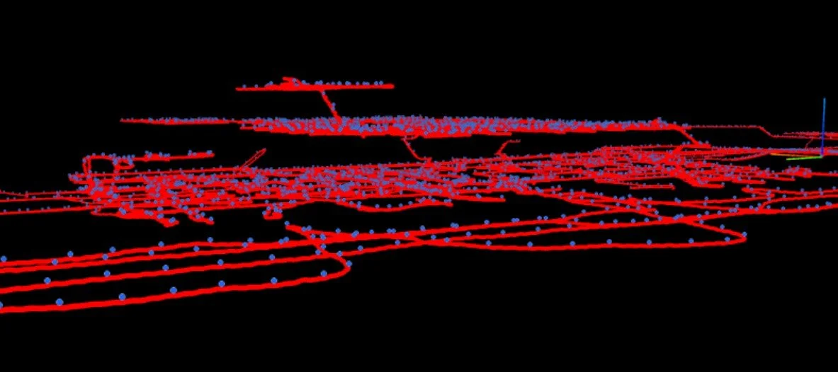
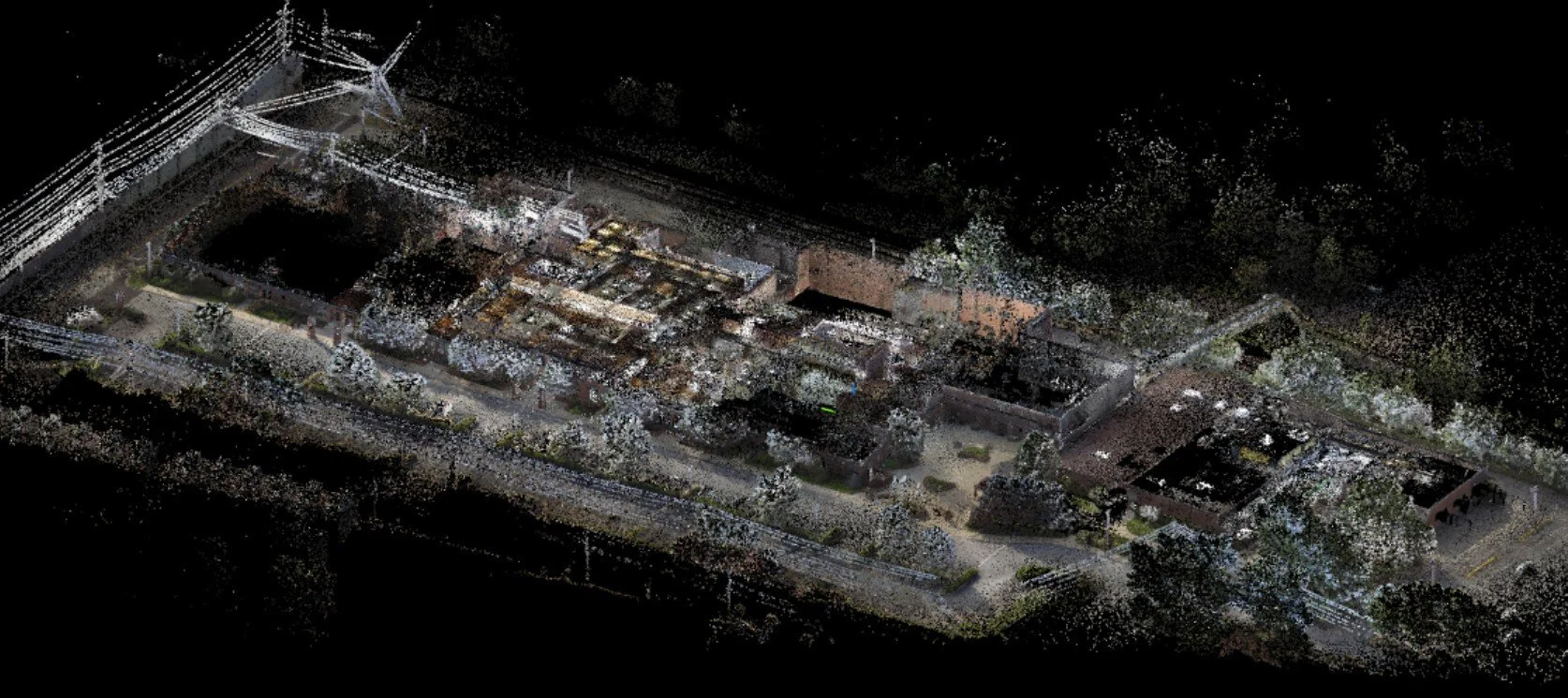
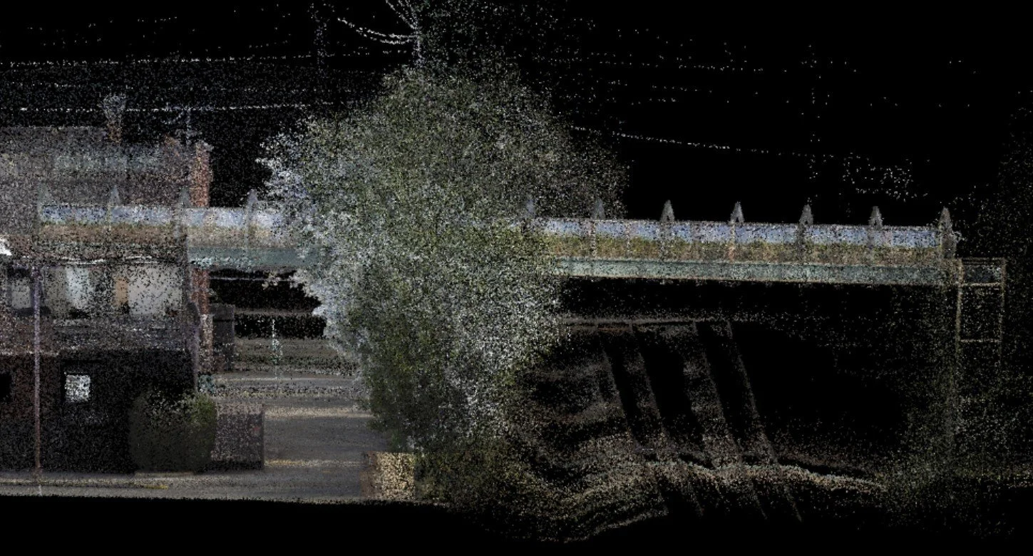
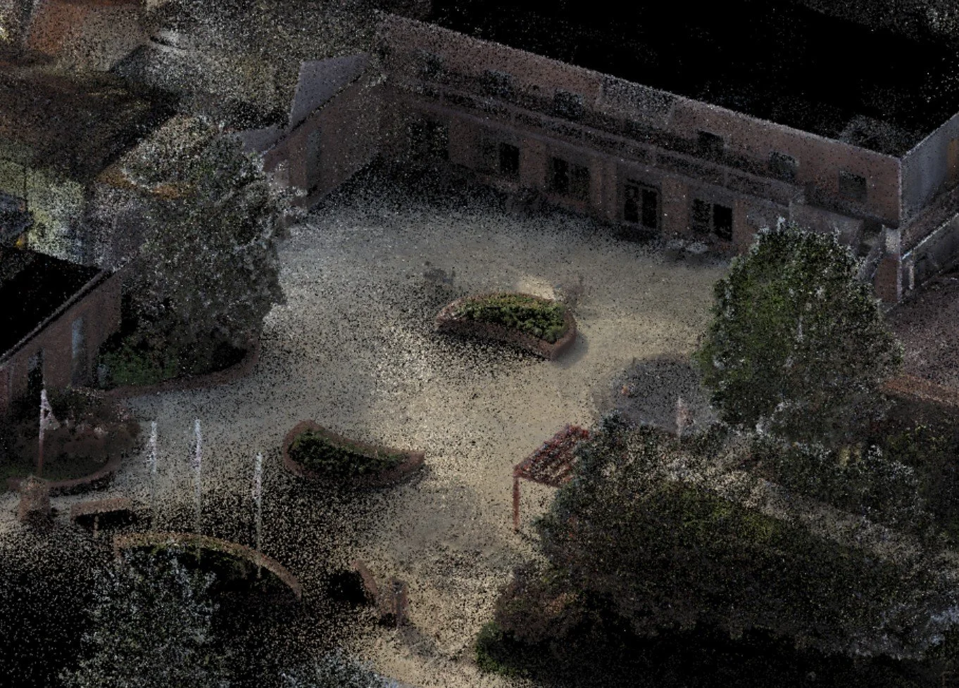
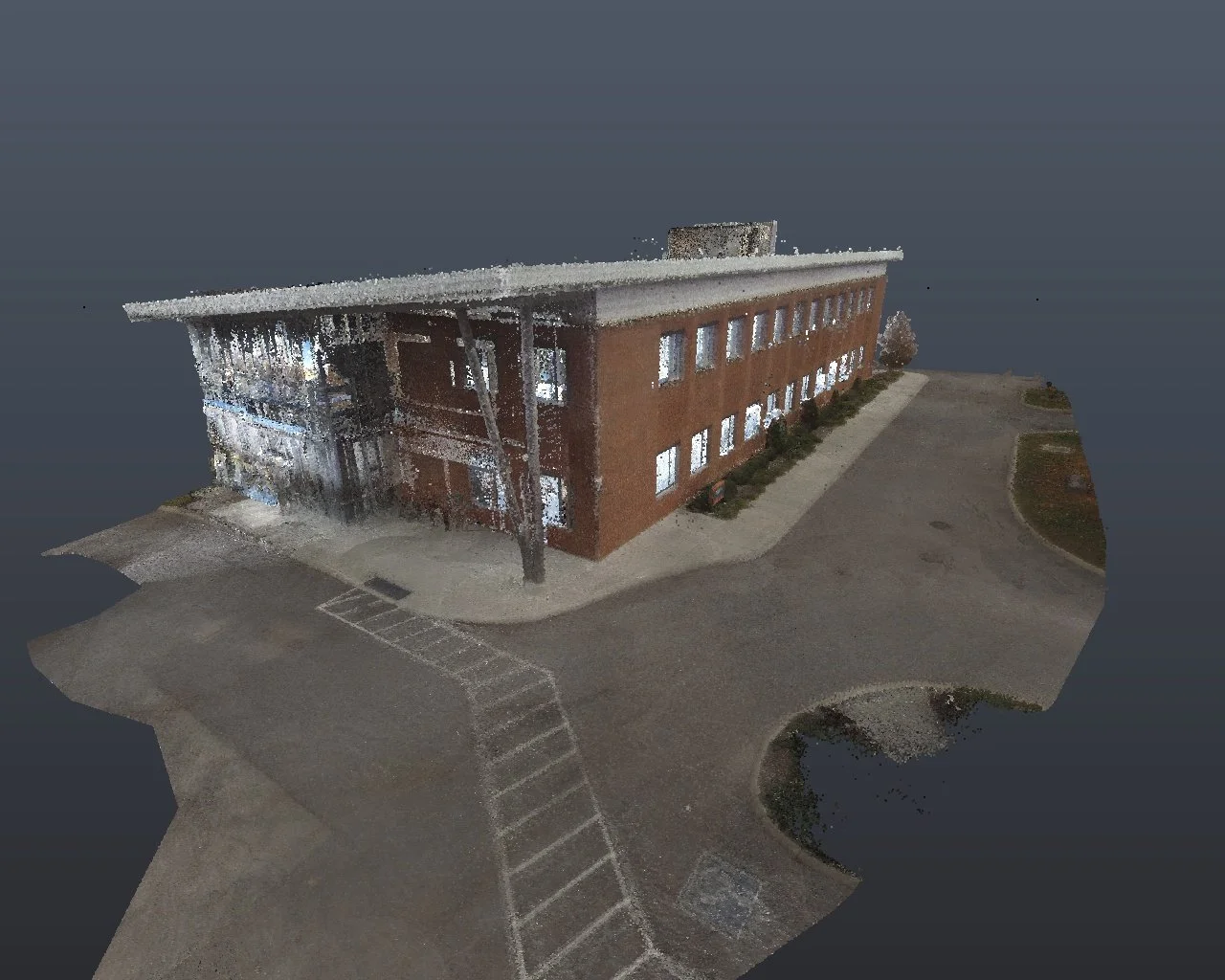
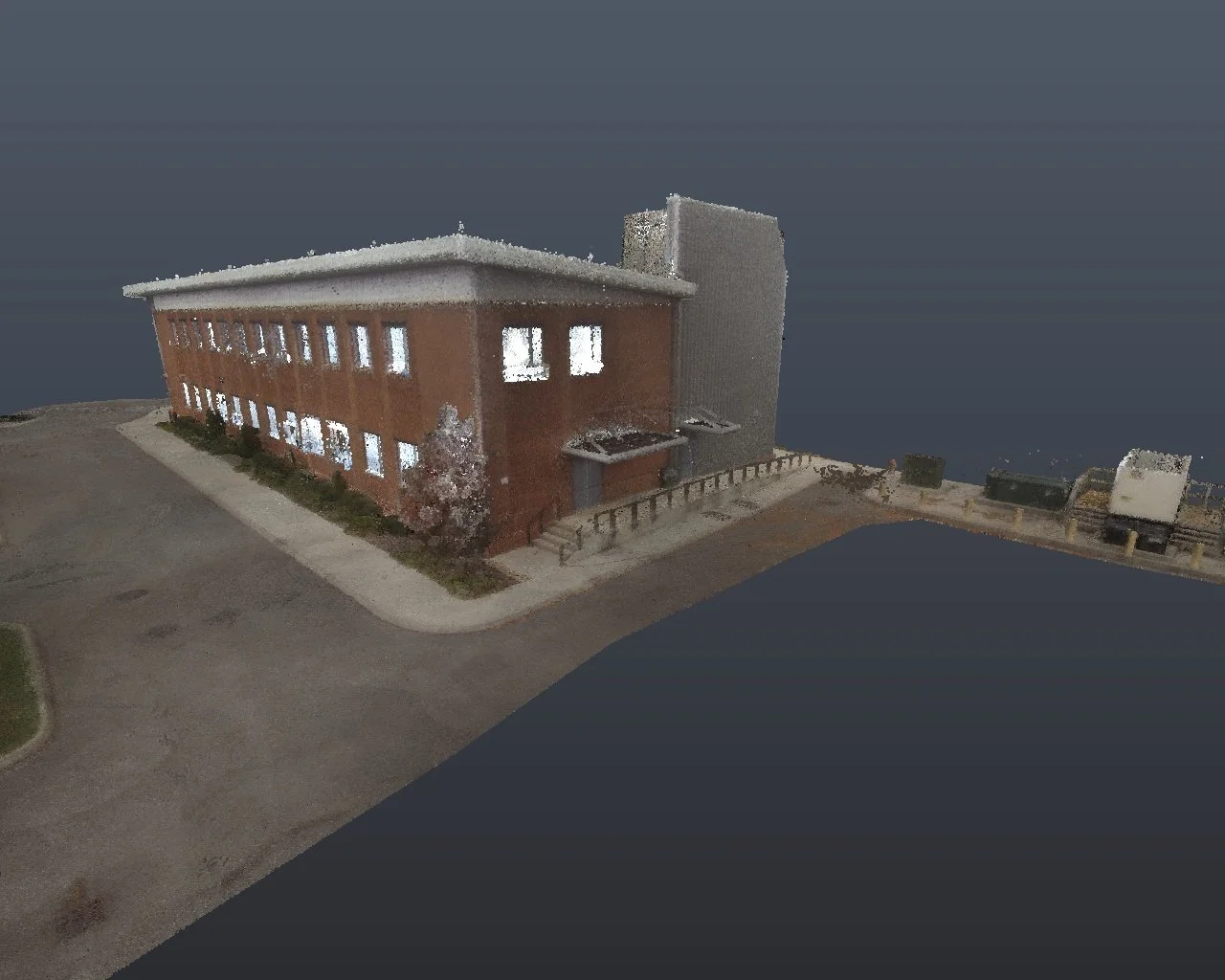
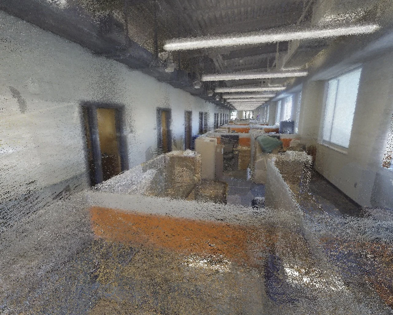
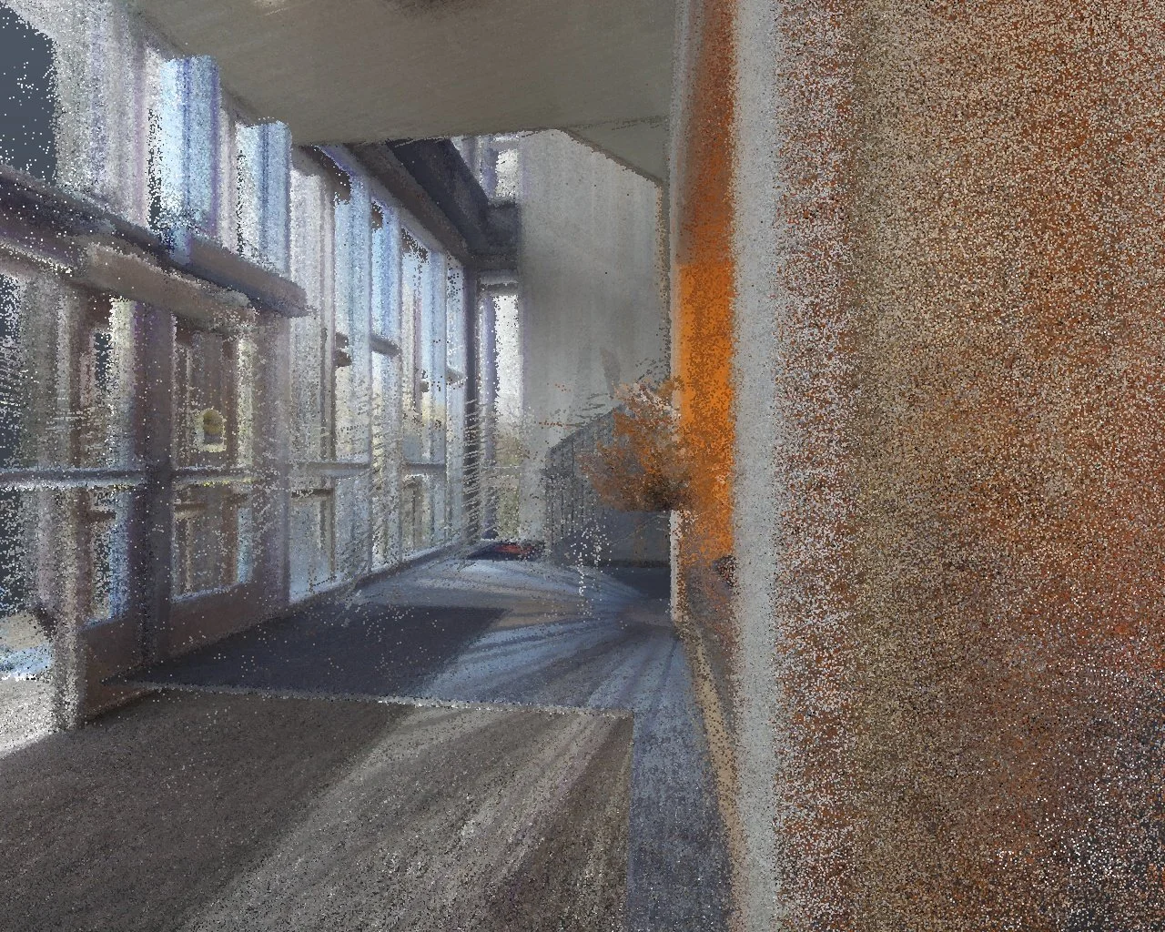
Cherokee Mills Building
University of Tennessee - 2025
As a Space Analyst at the University of Tennessee, I led the comprehensive LiDAR documentation of the 192,000-square-foot Cherokee Mills Building in Knoxville, TN, capturing both interior and exterior spaces. The project supports the development of a high-accuracy digital twin BIM model and integration into the university’s campus mapping system.
Data collection was performed with the GeoSLAM ZEB Horizon handheld scanner fitted with the Vision camera attachment. Scan data was processed in Faro Connect, then cleaned, refined, and registered in Autodesk Recap Pro. The resulting point cloud was used to create a detailed BIM model in Autodesk Revit and was also referenced into ArcGIS Pro for inclusion in the University Campus Map.
Project Metrics
36 individual 20-minute scans fully imported, processed, aligned, and registered (work ongoing)
Approximately 60 hours total dedicated to processing, aligning, and registering the 36 scans
Estimated walking distance of approximately 95,000 linear feet during scanning operations
Roughly 9 billion points retained in the cleaned and optimized point cloud
More than 6,400 panoramic images collected and stitched together
This dataset provides a precise spatial foundation for facility management, space analysis, and long-term digital twin applications across the university campus.
As a Space Analyst at the University of Tennessee, I completed a full interior and exterior LiDAR survey of the 20,000-square-foot Bioeconomy Innovation Hub on the University of Tennessee Institute of Agriculture campus in Knoxville, TN. The project delivered a precise spatial dataset to support digital twin development and facility documentation for this specialized research and innovation facility.
Scanning was performed with the GeoSLAM ZEB Horizon handheld scanner equipped with the Vision camera attachment. The data was processed in Faro Connect, cleaned and registered in Autodesk Recap Pro, and used to create a detailed BIM model in Autodesk Revit.
Project Metrics
6 individual 20-minute scans fully imported, processed, aligned, and registered
Approximately 20 hours total dedicated to processing, aligning, and registering the scans
Roughly 20,000 steps taken during data collection
Approximately 4.5 billion points retained in the cleaned point cloud
More than 1,400 panoramic images collected and stitched together
This scan provides an accurate foundation for space analysis, asset management, and long-term digital twin applications within the university’s agricultural research portfolio.